New Lake Tahoe Virtual Map
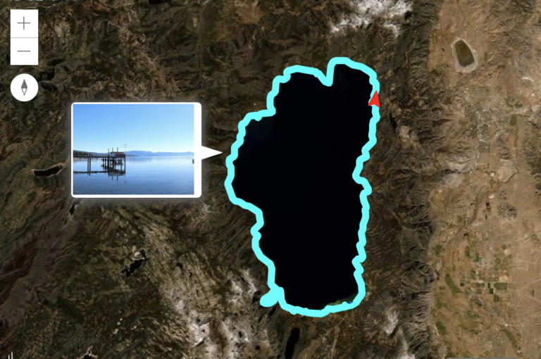
The Tahoe Fund and Earthviews has released a street-view style map of Lake Tahoe’s shoreline. This 360-degree map provides views of the entire 72 miles of Lake Tahoe’s shoreline. Google has always allowed for street-views of neighborhoods. However, this map was designed to view the Lake Tahoe shoreline from the lake.
Additionally, the map provides underwater views and provides water quality data. Users can take a virtual tour of real estate along the shoreline as viewed from the lake. Offering a 360-degree view, users can view the shoreline, beaches, and all that exists above and below the water.
Environmental Benefits
Conservation organizations and scientists will gain many benefits from this new app. They will be able to look at current conditions to improve the clarity and overall health of Lake Tahoe.
Tahoe Fund is a nonprofit organization and funded this project. They work to maintain and improve the watershed and surrounding areas of the Lake Tahoe basin. Working in conjunction with EarthViews, they created the first ever ‘street-view’ style map of the shores of Lake Tahoe.
“This map allows people to see Tahoe like never before,” said Amy Berry, CEO of the Tahoe Fund. “You can tour Emerald Bay, ‘paddle’ through the iconic rocks of Sand Harbor, or explore the hidden beaches along the East Shore with just the click of a button. Best of all, this new tool is bringing a wealth of data and information to scientists and conservation organizations working to improve the health of the Lake.”
According to UC Davis Tahoe Environmental Research Center, conditions differ widely around the Lake’s nearshore — or the area ranging about 350 feet from the shoreline — due to variations in temperature, stormwater flow and runoff, aquatic invasive species, the effects of recreation, and fluctuation in lake levels.
“This comprehensive look at today’s conditions will serve as a significant historical marker,” explained Brian Footen, president and co-founder of EarthViews. “Scientists will be able to look back 5, 10, or 50 years from now and understand how water quality and the physical shoreline have changed over time.”
How the Map was Created
Footen actually spent a week paddling around the lake in a kayak to create this map, using cameras and measurement tools to capture data. He also used mobile mapping technology to capture synchronized imagery and data every ten seconds. He published the information online as a “street view” experience for users to access on desktops or mobile devices.
While this new tool is excellent for scientists and environmental organizations, it is also perfect for prospective lakefront buyers who would like to view the property from the lake.
Explore the Lake Tahoe ShoreView Map here.
Contact me today for current market conditions for lakefront real estate at Lake Tahoe.